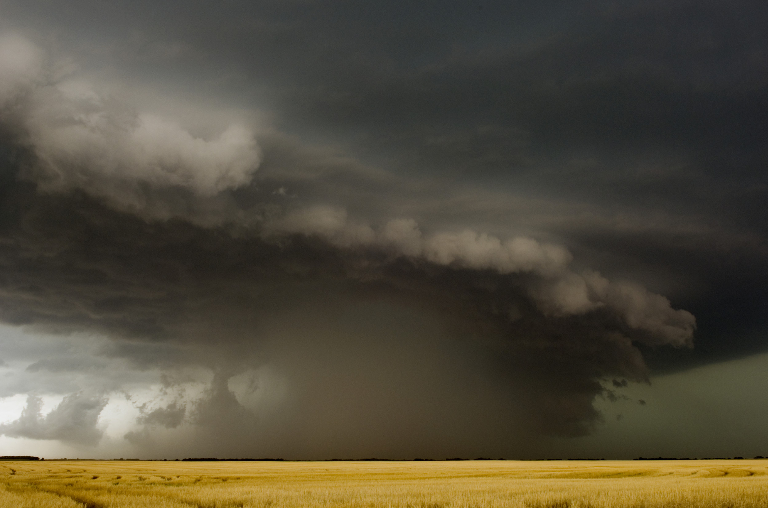
Air quality in areas across the Northern and Midwest U.S. will continue to be affected by smoke pouring down from wildfires in Canada, according to the National Weather Service (NWS).
A band of smoke is traveling down through states such as Montana and Nebraska in the West and the Great Lakes region in the East toward Central states including Illinois and Tennessee. Parts of California are also seeing a drop in air quality because of smoke.
Canada is now experiencing one of the worst starts on record to its yearly wildfire season. This has sent smoke clouds descending over Toronto, and states including New York, Pennsylvania and Michigan, due to weather patterns.

As of July 12, the latest official situational report by Natural Resources Canada, in the year to date, says that nearly 9.7 million hectares (about 24 million acres) of land have been burned by wildfires—839 percent of the normal amount. Across the nation, as of Monday, there were 616 active fires.
The NWS said in its latest forecast discussion that Canadian wildfire smoke would "remain in the picture through Tuesday." There have been air-quality alerts issued for swathes of the country including the Great Lakes, central Tennessee and North Carolina. Newsweek approached the NWS for further comment via email on Monday.
Meteorologists at the government agency said the Northeast would see higher concentrations of smoke, resulting in unhealthy air for sensitive groups. The agency experts expect concentrations to fall over the central U.S. on Tuesday, but "may still cause poor air quality along the East Coast."
Modeling of near-surface smoke formulated on Sunday shows that, as of 7 a.m. ET on Monday, parts of Nebraska are anticipated to see 25 micrograms per cubic meter of smoke particulates, 26 micrograms per cubic meter in Ohio and 28 micrograms near Chicago, Illinois. That lower-level smoke will lessen in many places later into Monday, with a localized high of 35 micrograms per cubic meter near the border between Illinois and Indiana. It will persist into Tuesday, with parts of the Midwest seeing more than 30 micrograms per cubic meter.

AirNow, the government's air-quality monitoring system, says concentrations above 35.5 micrograms per cubic meter for small particulates are considered unhealthy for sensitive groups. Readings above 55.5 are considered generally unhealthy.
AirNow's latest maps show that air quality is considered unhealthy across the parts of the U.S. that the plume is stretching, including the Great Plains, parts of the Midwest and Buffalo, New York.
Across all sections of the atmosphere, the numbers are far higher. At the same time on Monday morning, Chicago is expected to have 133 milligrams per meter squared overhead, with more than 100 milligrams per meter squared over Iowa, Indiana, Ohio and western New York.
NWS modeling shows that California is anticipated to see 36 milligrams per meter squared over central parts of the state, which may be due to its own wildfire season beginning in earnest. California and the East Coast are expected to see pockets of worse air quality on Monday and Tuesday.

Natural Resources Canada says that on average around 2.5 million hectares (6.2 million acres) of its forests are burned in a year. This year's wildfire season has already exceeded the previous record set in 1995, when 7.1 million hectares (17.5 million acres) of land were burned across the entire year.
Experts largely agree that the widespread forest blazes, and the conditions that have allowed for them, are another example of extreme weather caused by climate change.
"Extreme weather is the by far the dominant cause of this record-breaking fire season currently occurring in Canada," Apostolos Voulgarakis previously told Newsweek. He is a professor of climate change at Imperial College London and AXA chair in wildfires at the Technical University of Crete.
Voulgarakis said: "Summers with more intense droughts and heat than average have always existed, but the key for explaining what is happening right now is that these naturally occurring phenomena are pushed to new extremes due to climate change, which is causing more and more destructive phenomena around the world as it unfolds."
Uncommon Knowledge
Newsweek is committed to challenging conventional wisdom and finding connections in the search for common ground.
Newsweek is committed to challenging conventional wisdom and finding connections in the search for common ground.
About the writer
Aleks Phillips is a Newsweek U.S. News Reporter based in London. His focus is on U.S. politics and the environment. ... Read more