Updated | Google Maps appears to have encountered a rather futuristic glitch as of Friday afternoon.
On the same day as a major study was released predicting 200 feet of sea level rise in a worst-case climate change scenario, bits of Southern California coastal cities began to appear underwater on Google Maps. Venice, Malibu, Manhattan Beach and Redondo Beach are among the casualties. Their virtual watery demise was a just a glitch, Google Maps communications specialist Mara Harris said Friday afternoon, and may have something to do with the multiple streams of data Google pulls from to make their maps.
"The various types of data found in Google Maps come from a wide range of sources. Our basemap data - things like ocean, road networks, and place names comes from a combination of third-party providers, public sources, and user contributions," she said via email. "Overall, this provides a very comprehensive and up-to-date map, but there are occasional inaccuracies that arise from any of those sources."
Still, it is an interesting sight to behold, and not unlike other maps of cities imagined in a higher-sea-level world.
Below, Malibu is simply underwater:
Malibu got hit pretty hard. pic.twitter.com/hBYb7Pwmly
— southpaw (@nycsouthpaw) September 11, 2015
Along with the Pacific Coast Highway:

Venice Beach and boardwalk, near Google's own Venice offices, has been hit quite bad.


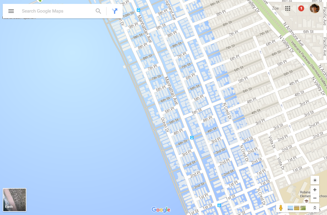
Manhattan Beach also appears underwater.

Apparently @google is getting a little ahead of itself mapping out the effects of rising sea levels. @burritojustice pic.twitter.com/bN172OHPDa
— Jeff Naecker (@jnaecker) September 11, 2015
Redondo Beach appears obliterated:
@nycsouthpaw goodbye, Redondo Beach Pier. pic.twitter.com/GJA0MmWeAF
— Katie Chrystler (@kchrystler) September 11, 2015
Palo Verdes did not fair well either:

Update: This post has been updated with comment from Google Maps confirming that the waterlogged maps are a glitch, not an intentional portrayal of sea level rise.
Uncommon Knowledge
Newsweek is committed to challenging conventional wisdom and finding connections in the search for common ground.
Newsweek is committed to challenging conventional wisdom and finding connections in the search for common ground.
About the writer
Zoë is a senior writer at Newsweek. She covers science, the environment, and human health. She has written for a ... Read more
To read how Newsweek uses AI as a newsroom tool, Click here.