As if the Atlantic hadn't had an already active hurricane season, tropical storms Katia and Jose reached enough strength Wednesday afternoon to reach hurricane status. Both are expected to churn through the Gulf of Mexico and, possibly, the Leeward Islands in the West Indies.
Hurricane Jose was located about 1,040 miles east of the Lesser Antilles and had reached wind gusts of 75 miles per hour, according to an advisory issued Wednesday by the Miami-based National Hurricane Center. While there were no official warnings or watches, the advisory suggests that the Leeward Islands must monitor Hurricane Jose's track along the Atlantic.
It is likely that Jose will continue to strengthen as it is moves westward this week, according to Accuweather. A projected path shows that it could move north of the Leeward Islands by the end of this week, a few days after Hurricane Irma has already pummeled some of those territories. It was also expected that Hurricane Jose will flounder in the middle of the North Atlantic early next week.
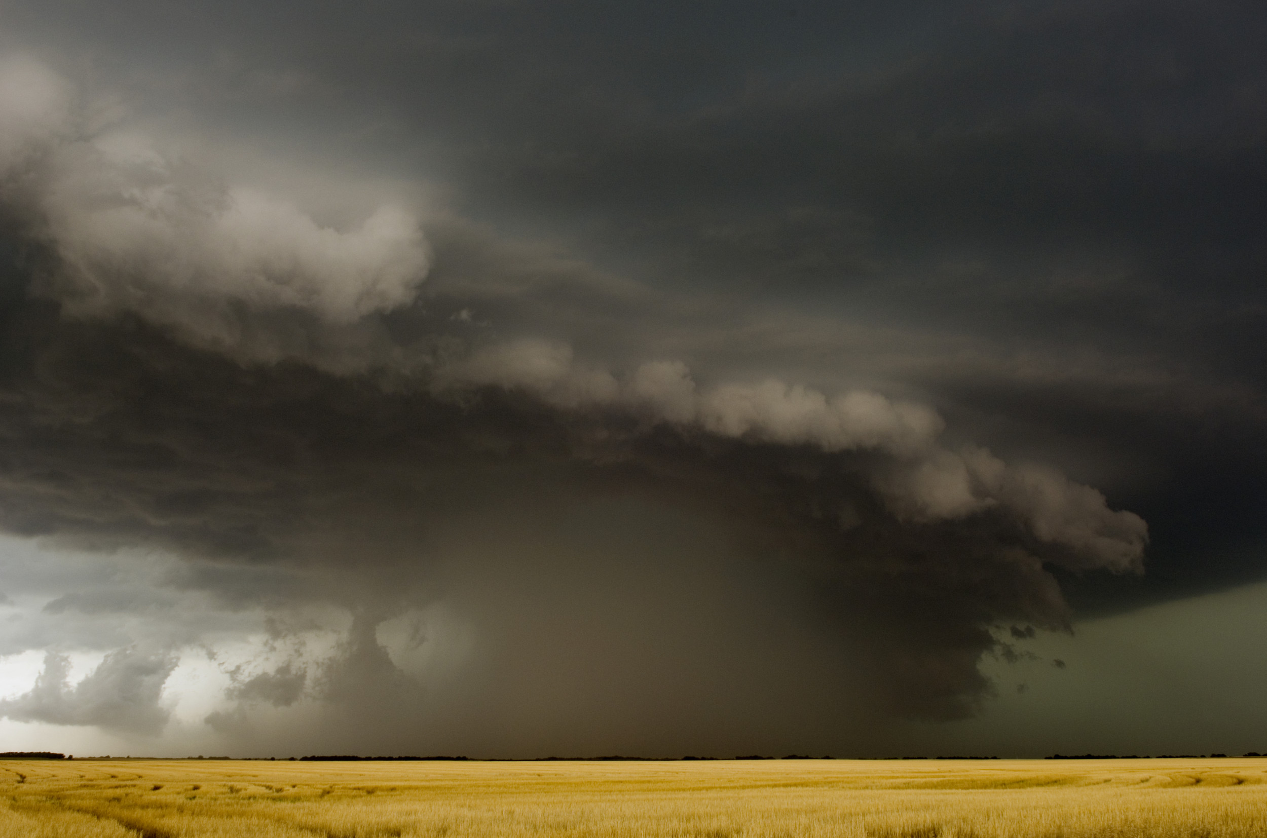
Katia, a Category 1 hurricane, has formed in the southwest part of the Gulf of Mexico with winds of 75 miles per hour. According to Mexico's National Meteorological Service, Hurricane Katia will hit the state of Veracruz Friday evening or Saturday morning. The storm is expected to bring heavy rainfall and it's likely to bring heavy rainfall. Mexican President Enrique Peña Nieto announced on Twitter that he had begun to coordinate emergency preparedness.
He dado indicaciones para activar el #PlanMX ante el huracán #Katia. El objetivo: coordinar las acciones preventivas del @GobMX.
— Enrique Peña Nieto (@EPN) September 6, 2017
Due to a large patch of dry air over Louisiana and Texas, Katia will not move northward into Hurricane Harvey-devastated areas, Accuweather reported. Instead, Katia will churn across mainland Mexico after passing through Veracruz, according to a projected path by the National Hurricane Center.
Hurricane Irma, Tropical Storm Jose, Tropical Storm Katia all tropical systems in the Atlantic, Caribbean and Gulf pic.twitter.com/CA4zAV4AWm
— David Siple (@DavidSipleKTEN) September 6, 2017
Hurricane Irma a Category 5 and now Tropical Storm Jose behind it. I told y all Jesus is coming enough with the BS #DACA pic.twitter.com/uaf5yImMUU
— D.T. (@Darlene26811165) September 5, 2017
First Hurricane Harvey, now Hurricane Irma, & then Hurricane Jose and Katia? Like wtf is going on in this world
— Biannca Prince (@bianncarraines) September 6, 2017
On August 9, the National Oceanic and Atmospheric Administrated (NOAA) forecasted an above-normal hurricane season, perhaps the most active since 2010. NOAA's outlook at the time included between 14 and 19 named storms, of which five or nine could turn into hurricanes and two to five of them into major tropical cyclones. An average hurricane season runs from June 1 to November 30, and most of these storms form in the month of August.
After NOAA updated its hurricane outlook, FEMA Administrator Brock Long said at the time, "Today's updated outlook underscores the need for everyone to know their true vulnerabilities to storms and storm surge."
Uncommon Knowledge
Newsweek is committed to challenging conventional wisdom and finding connections in the search for common ground.
Newsweek is committed to challenging conventional wisdom and finding connections in the search for common ground.
About the writer
Robert Valencia is deputy world editor for Newsweek. Robert has covered issues related to drug policy, human rights, U.S. presidential ... Read more