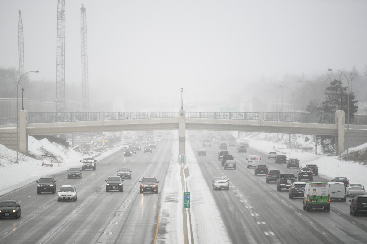
Multiple states will be at risk of hazardous travel over the Christmas holiday as blizzard conditions grip two states in the Northern Great Plains from Sunday night through Wednesday, according to a map published by the Weather Channel on Sunday.
The blustery winter storm follows on the tail of an offshore Pacific storm that dumped torrential rain in southern California on Thursday and then moved eastward, bringing rain and snow to New Mexico. The incoming storm is approaching from the Pacific Northwest and will create "dangerous" conditions for holiday travelers, according to a Saturday Fox Weather report.
According to the Weather Channel's map, nearly the entire state of Nebraska is under a blizzard warning, as well as southeastern and central South Dakota. Up to 18 inches of snow are set to fall in northern Nebraska and much of central South Dakota, and combined with gusty winds and rain, the conditions could turn perilous for motorists.
"Take a snow globe and shake it up, and that's what it'll look like over some of these highways," one Weather Channel meteorologist said in her report. "So be careful if you are traveling over the next couple of days."
The Weather Channel also warned that "blowing snow" could reduce visibility. At least 8 inches of snow is also forecast for nearly the entire state of Nebraska.
Newsweek reached out to AccuWeather by email for comment.
With the heavy snowfall and strong winds—up to 60 miles per hour gusts in some parts of central South Dakota—there will be "pretty big snow drifts" throughout the state. The winds are blowing from the north, bringing cold air with them and creating a threatening environment for up to half an inch of ice to fall. Nebraska could experience wind gusts up to 40 mph.
Meanwhile, a winter weather advisory extends into Wyoming and Colorado, with a winter storm watch extending south into northern Kansas. Snow flurries are expected across several states through Wednesday, including Michigan, Iowa and Illinois, although less than an inch is forecast to fall, according to Fox Weather. Meanwhile, warmer than average temperatures across Minnesota, Wisconsin and Indiana will result in rain.
The frightful weather comes after a moisture-laden storm dumped a month's worth of rain on Oxnard, California, in only one hour on Thursday morning. That storm then brought substantial snow to New Mexico's high-altitude regions.
Nebraska and South Dakota are out of the norm for a white Christmas this year, as AccuWeather meteorologist Tom Kines previously told Newsweek that El Niño will reduce the probability that northern states will see snow on Christmas, although the chance for snow in the Northern Great Plains was higher than other areas.
El Niño is a climate pattern characterized by warm ocean waters in the Pacific Ocean. It began this summer after La Niña culminated in March.
Uncommon Knowledge
Newsweek is committed to challenging conventional wisdom and finding connections in the search for common ground.
Newsweek is committed to challenging conventional wisdom and finding connections in the search for common ground.
About the writer
Anna Skinner is a Newsweek senior reporter based in Indianapolis. Her focus is reporting on the climate, environment and weather ... Read more
To read how Newsweek uses AI as a newsroom tool, Click here.