Satellite imagery from the Cooperative Institute for Research in the Atmosphere (CIRA) revealed severe storms "erupting" across four states in the Central Plains on Thursday evening as the first of two storm systems rolled through the central U.S.
Meteorologists warned of the life-threatening storms set to affect millions of people in the central states earlier this week. An AccuWeather report said the systems would be "one of the most widespread severe weather events so far in 2024," warning that the incoming storm "will unleash tornadoes, hard-hitting hail and damaging winds across a dozen states."
Read more: Emergency Funds: How to Build One and Where to Keep It
The first storms arrived in the central U.S. on Thursday.
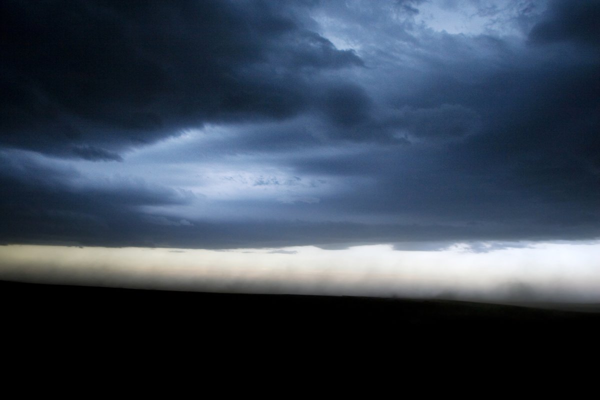
"High resolution imagery of severe storms erupting tonight across the Central Plains," the CIRA posted on X (formerly Twitter).
High resolution imagery of severe storms erupting tonight across the Central Plains. pic.twitter.com/S6GqdUuKba
— CIRA (@CIRA_CSU) April 26, 2024
The imagery showed the erupting storms in Wyoming, Colorado, Nebraska and Kansas. Each of the four states still had National Weather Service (NWS) alerts in place on Friday afternoon.
A winter weather advisory, winter storm warning and winter storm watch were issued for Wyoming. Colorado had all three of those advisories in place, as well as a red flag warning and a hazardous weather outlook warning of wildfire conditions.
A tornado watch, tornado warning and severe thunderstorm warning were issued for Nebraska. An NWS spokesperson told Newsweek there were active tornados on the ground in the Hastings, Nebraska, area. A flash flood warning, flood warning, wind advisory, hazardous weather outlook and fire weather watch were issued for Kansas.
"A dynamic weather system is poised to bring significant weather impacts across the Plains extending into the Mid-to-Upper Mississippi Valley regions this weekend," the NWS warned about the system. "This system will usher in a variety of weather phenomena including thunderstorms, heavy rainfall, and even severe weather conditions."
The NWS went on: "Thunderstorm activity is forecasted to intensify across portions of the Plains, particularly in areas extending from the Southern Plains to the Great Lakes. These storms are likely to bring heavy rainfall, increasing the risk of localized flash flooding in low-lying and urban areas."
A second storm system is headed for the Plains and was causing high winds in Southern California on Friday afternoon, with the NWS warning of widespread power outages as the storm works its way through the state.
The AccuWeather report warned that the storm system will traverse roughly 1,000 miles on Friday, extending from southern Minnesota to central Texas. Big cities at risk for the impacts include Kansas City and Springfield, Missouri; Tulsa, Oklahoma; Topeka, Kansas; Fort Smith, Arkansas; Omaha, Nebraska; Des Moines, Iowa; and Dallas.
Uncommon Knowledge
Newsweek is committed to challenging conventional wisdom and finding connections in the search for common ground.
Newsweek is committed to challenging conventional wisdom and finding connections in the search for common ground.
About the writer
Anna Skinner is a Newsweek senior reporter based in Indianapolis. Her focus is reporting on the climate, environment and weather ... Read more
To read how Newsweek uses AI as a newsroom tool, Click here.