National Weather Service (NWS) meteorologists are warning Utah residents to exercise caution as spring snowmelt causes a high flow rate for some rivers in the state.
An abnormally wet winter supplemented the Utah area with snowpack that was much above average in some areas. In the state's 16 snowpack regions, 14 had above-average snowpack, with 10 of those areas experiencing snowpack that was at least 120 percent of average. As spring weather brings warmer temperatures, the snow is melting at a quicker rate than normal for two Utah rivers.
"Recent flows across portions of Utah are above average. As runoff season begins across the #CBRFC area, please exercise caution around area rivers," the Colorado Basin River Forecast Center posted on X, formerly Twitter, with a graphic depicting flow rates in Utah.
Recent flows across portions of Utah are above average. As runoff season begins across the #CBRFC area, please exercise caution around area rivers. #utwx #utflood pic.twitter.com/9ENRjkpTsy
— Colorado Basin RFC (@nwscbrfc) April 18, 2024
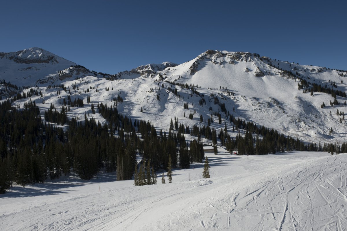
According to the post, rates at Dry Creek in northern Utah and Virgin River in southern Utah are experiencing flow rates above normal.
NWS Development Operations Hydrologist John Lhotak told Newsweek that warmer temperatures are contributing to the faster snowmelt, although temperatures could cool off in the next week, potentially slowing the river flows.
"Elevated flows mean that rivers have higher velocities," Lhotak said, warning that people can get caught up in the currents if they aren't careful.
If snowmelt occurs quickly enough, low-level land flooding can also occur.
Utah receives approximately 95 percent of its water from snowpack melt, the Utah Department of Natural Resources said in a webpage dedicated to the state's snowmelt.
"Reservoir storage is dependent upon snowpack and runoff to get us through dry years," the webpage said. "As of early April, Utah's snowpack is above normal for most regions."
Utah snowpack peaks around April 1.
"Our reservoirs remain high at an average 82% capacity due to 2023's incredible snowpack and prudent water management," the Utah Department of Natural Resources said. "Usually, they are around 53% this time of year. Careful use of our stored resources will ensure we have water later. In Utah, we are either in drought or preparing for the next one, so we always need to use our water wisely."
Snowpack levels are also above normal in other parts of the region. Earlier this year, the Colorado River Basin had lower-than-average snowpack, but numbers jumped over 100 percent of the average in March. Although snowpack levels are above normal, they're still far behind last year's levels, which were about 142 percent of normal in March.
Spring snowmelt typically begins in April, but can begin earlier if weather allows.
An abnormally wet winter in 2023 led to Colorado snowpack that was also 142 percent of average in March of last year, after years of drought. Prior to the above-normal snowpack in 2023, the Upper Colorado River Basin had below-normal snowpack in 2022 and 2021, contributing to the region's water struggles. Although snowpack is above normal this year, it's not comparable to 2023 levels.
Uncommon Knowledge
Newsweek is committed to challenging conventional wisdom and finding connections in the search for common ground.
Newsweek is committed to challenging conventional wisdom and finding connections in the search for common ground.
About the writer
Anna Skinner is a Newsweek senior reporter based in Indianapolis. Her focus is reporting on the climate, environment and weather ... Read more
To read how Newsweek uses AI as a newsroom tool, Click here.