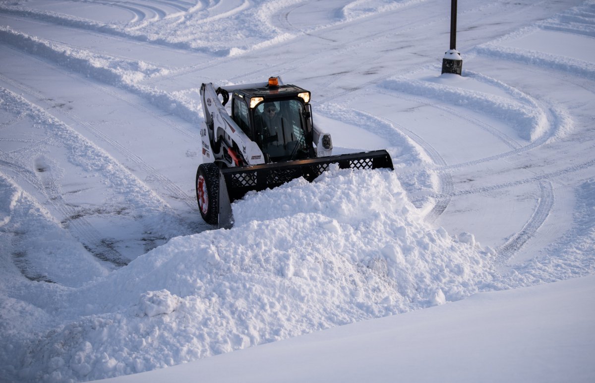
Warnings are in place for parts of five states as a major winter storm that brought blizzard conditions to the Plains and Great Lakes continues to impact the region.
The National Weather Service has issued alerts for Alaska, Minnesota, Nebraska, Wisconsin and New Mexico. A blizzard warning remains in place for a swath of Nebraska.
In its latest forecast, the NWS said that heavy snow and blizzards associated with the weather front—which developed over the weekend and saw the heaviest precipitation through Monday—would end on Tuesday.
Up to four inches of additional snowfall is expected across eastern Minnesota into Wednesday as the system moves up into southern Canada. However, a "frigid" airmass will persist over the Plains, with maximum temperatures 15-25 degrees below average on Tuesday.
As of midnight ET on Wednesday, temperatures are not expected to exceed 20-30 degrees Fahrenheit.
The same system brought unsettled weather to the West into the weekend, before strengthening over the Plains region on Saturday.
In northwest Wisconsin into northeast Minnesota, up to four inches of additional snow is expected along with ice accumulations of a tenth of an inch and winds as high as 35 miles an hour.
Further into Minnesota, conditions are set to worsen slightly, with up to five inches of snow predicted to fall until Tuesday evening. Ice accumulations and winds of up to 40 miles an hour are also anticipated.
Advisories are in place for the Dakotas and western Iowa, but wintry conditions are set to pick up again over Nebraska, where blizzard warnings remain in place across the central parts of the state.
An additional three inches of snow is expected, but accumulations will be whipped up by winds as high as 45 miles an hour which could also bring down tree branches. Winds are predicted to diminish by Tuesday evening.
In the Sangre de Cristo Mountains and surrounding areas of northern New Mexico, up to four inches of additional snow is expected, after up to two feet was forecast on Monday.
Earlier in the month, a powerful winter storm from the Pacific brought in excess of 12 feet of snow to the Sierra Nevada range, as well as several feet of snow and blizzard conditions to higher-elevation regions of neighboring states.
Another winter storm made landfall earlier the same week before moving into the Intermountain West, bringing intense snowfall from Utah to Wyoming and Colorado.
Periods of blizzard conditions are also predicted for areas of western Alaska into Tuesday morning, including St. Lawrence Island, with up to nine inches of snowfall and 60-mile-an-hour winds reducing visibility to less than a quarter of a mile at times.
Uncommon Knowledge
Newsweek is committed to challenging conventional wisdom and finding connections in the search for common ground.
Newsweek is committed to challenging conventional wisdom and finding connections in the search for common ground.
About the writer
Aleks Phillips is a Newsweek U.S. News Reporter based in London. His focus is on U.S. politics and the environment. ... Read more
To read how Newsweek uses AI as a newsroom tool, Click here.